Between May and June 2013, INFOMAR survey vessels carried out seabed mapping operations in Dundalk Bay, finalising their contribution to the INIS-Hydro Project.
This was the completion of mapping that began in 2011 - see the following blogs for details: http://infomarupdates.blogspot.ie/2011/11/inishydro-project.html and http://infomarupdates.blogspot.ie/2012/06/inishydro-2012-progress.html
INIS-Hydro was a 3 year INTERREG IVA Programme with the Maritime and Coastguard Agency (MCA) in the UK as lead partners. The project brought together 7 partners to conduct hydrographic surveys in Ireland, Northern Ireland and Scotland. The partners are the MCA, Geological Survey of Ireland (GSI), Marine Institute (MI), the Agri-Food and Biosciences Institute (AFBI), the Scotish Association of Marine Science (SAMS), the Northern Lighthouse Board (NLB) and the United Kingdom Hydrographic Office (UKHO).
The surveys were undertaken in Dundalk Bay, Carlingford Lough, Dundrum Bay, the Firth of Lorn and South West of Islay by several different vessels drawing on expertise from the various partners. The bathymetric data delivered 3D baseline maps using multibeam echosounder technology which will be freely distributed. The project aims to harmonise hydrographic survey specifications and synchronisation for future surveys.
Dundalk Bay was surveyed by the Marine Institute (MI) and the Geological Survey of Ireland (GSI), who took responsibility for blocks 1 and 2, respectively, as shown in the image below:

Block 1 was surveyed by the R.V. Celtic Voyager, while the GSI vessels R.V. Keary, R.V. Geo and M.V. Cosantóir Bradán surveyed the shallower waters of Block 2 (though elements of block 1 were also surveyed by the M.V. Cosantóir Bradán).
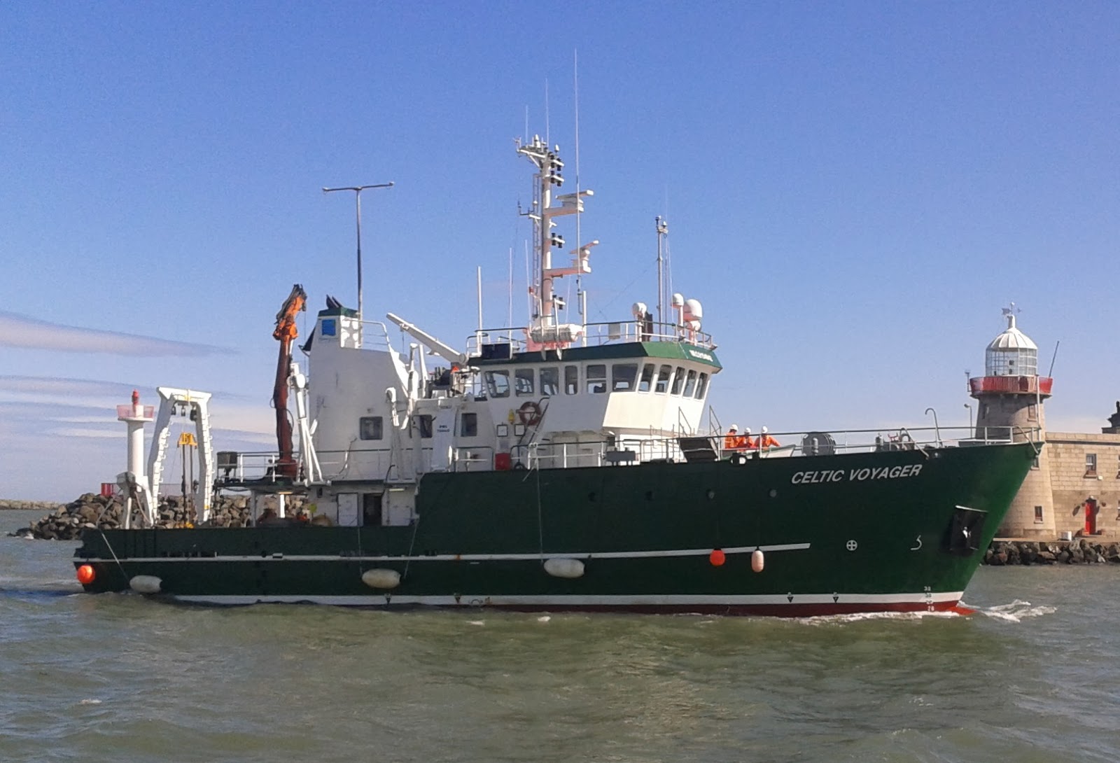


R.V. Celtic Voyager
R.V. Keary
R.V. Geo
M.V. Cosantóir Bradán
Overall, seven seperate survey legs were required to complete the mapping of this large area. The following image shows the extent of each of these survey legs. Each leg is coded according to the vessel that undertook it (Celtic Voyager = CV, Keary = KRY, Geo = GEO and Cosantóir Bradán = CB), followed by the year and that vessel's particular leg number of that year (e.g. KRY11_06 is the Keary's sixth survey leg of 2011 - the previous 5 survey legs would have taken place in other locations around the Irish coast).

The following image shows the bathymetric data (water depths) acquired over all seven legs:

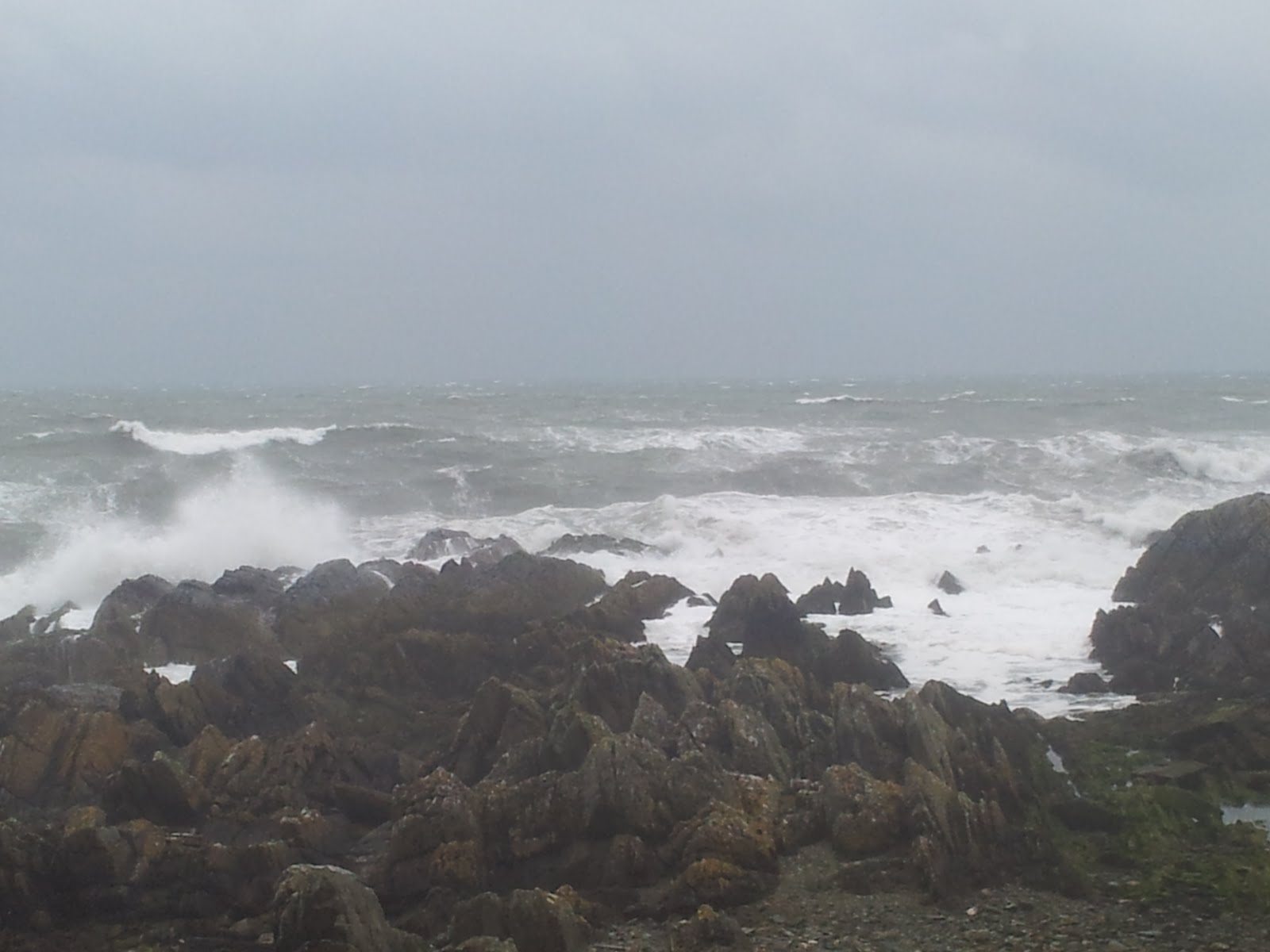
The mapping of Dundalk Bay was a challenging endeavour. Exposed to many wind directions, the vessels engaged in shallow water mapping were often hampered by the weather. Easterly winds were particularly disruptive to survey operations, as the quality of acquired data diminishes rapidly with increasing wind (and therefore, choppier seas). In addition to this, the shallow nature of the inner bay extended the duration of the overall project. The reason for this is that the width of the track mapped by each pass of a survey vessel actually narrows as the water depth decreases, increasing the time it takes to map a given area as the vessel moves into shallower waters.The R.V. Geo in particular had to contend with this law of diminishing returns.
Three interesting shipwrecks were imaged as part of the mapping process. They are visible in the following images:

Sunken meteorological station - 3D view

The Topaz - 3D view (wreck information sheet at http://www.infomar.ie/data/Shipwrecks/Box45/pdfs/SSTopaz_Final.pdf)

The Crusader
Along with the shipwrecks, a host of other interesting seabed features were mapped, including this large channel feature in the centre of the bay:

A backscatter image was also produced during processing of the bathymetric data. This image is a measure of the strength of the reflection of the vessels' sonar pulses off the seafloor - thus giving an impression of relative hardness of different seabed types. In the backscatter image below, darker patches are indicative of harder seabed types:

In addition to the seabed mapping operations, the R.V. Keary and the R.V. Celtic Voyager also carried out seabed sampling. This process involves lowering a device to the seafloor, called a grab sampler, which on impact closes a pair of jaws and retrieves a sample of whatever sediment type is there. See the following video clip for a demonstration of this: http://www.youtube.com/watch?v=B06Fw0MEfd0. The following map shows the locations at which seabed sampling was carried out:

The following images show examples of sediment types retrieved from the seabed (sand and gravel, respectively):